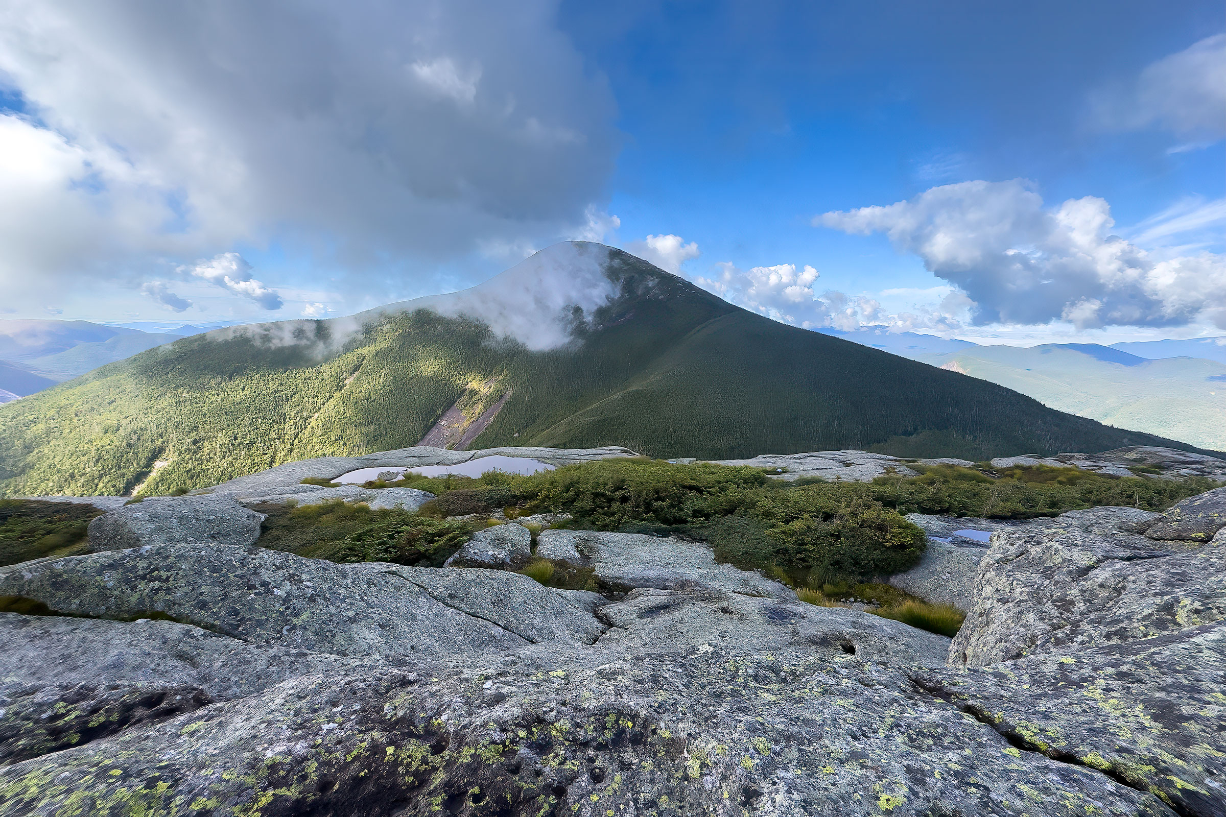
The Adirondack Park in upstate New York is a magical place. The New York State Legislature established it in 1892. Lawmakers set aside the land as a forest preserve to protect the region’s forests and watersheds from unchecked logging. Two years later, in 1894, New York voters strengthened that protection. They added the “forever wild” clause to the state constitution. This clause requires the park’s public lands to remain forever wild forest. It bars anyone from leasing, selling, or developing them.
Today, the park covers about 6 million acres. That’s roughly the size of Vermont. It’s the largest park in the contiguous United States, and it’s larger than Yellowstone, Yosemite, Grand Canyon, and Great Smoky Mountains National Parks combined! Within its boundaries lie more than 2,800 lakes and ponds and 30,000 miles of rivers and streams. The park also holds an estimated 200,000 acres or more of old-growth forest. Crowning its northeastern section are the famed 46 High Peaks, mountains rising above 4,000 feet. Mount Marcy stands tallest at 5,344 feet, making it the highest point in all of New York State.
My Journey So Far
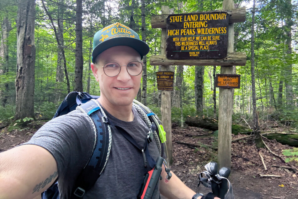
I’m slowly working toward climbing all the High Peaks, with a goal of becoming an ADK 46er. Before August 2026, I had climbed six of them: Marcy, Cascade, Porter, Phelps, Whiteface, and Esther (read more about the latter two here).
Our first summit was Mount Marcy, back in 2008. My wife, Dharma, and I were traveling to New Hampshire for a wedding. We decided to hike both Marcy in the Adirondacks and Mount Washington in New Hampshire’s White Mountains, since each is the high point of its state. That trip proved pivotal. We also first got acquainted with the Erie Canal on that trip, while visiting friends in Rochester. It would take us another 11 years, but we eventually biked the full length of the canal, from Buffalo to Albany.
It wasn’t until around 2022 that I caught summit fever and decided to pursue all 46 High Peaks. Since then, we’ve made a couple of trips to enjoy everything the park has to offer.
This Month’s Trip
This month, Dharma and I returned to the region. During our stay, I had the good fortune of climbing seven more mountains, bringing my total to 13 of 46. Dharma and I also brought along our new puppy, a whippet named Sir Remington Farnsworth (Remy, for short). Together, the three of us climbed four of the nine peaks that make up the Lake Placid 9 challenge.
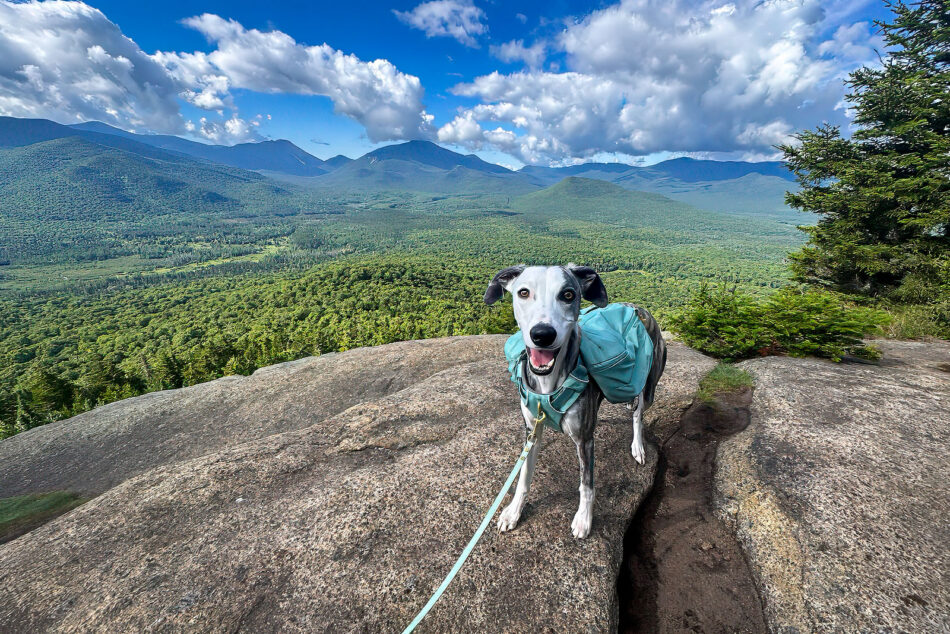
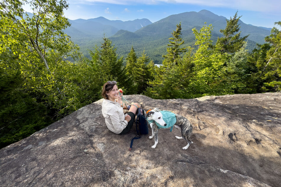
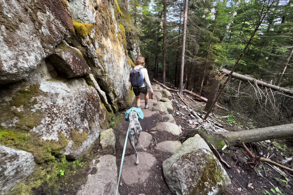
Here’s a brief summary of the High Peaks I climbed on this trip. I’m already looking forward to returning next year to keep working toward my goals.
Table Top
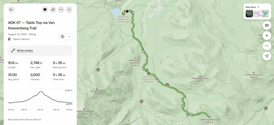
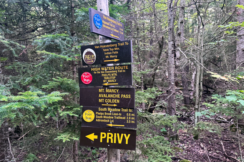
My first hike of the trip was to the summit of Table Top. The trail starts near the Adirondack Mountain Club’s Adirondak Loj in Lake Placid and follows the Van Hoevenberg Trail. Along the way, the trail crosses Marcy Dam, a popular junction point and former pond site in the High Peaks. Hikers often pair Phelps and Table Top in a single trip, but I only needed to summit Table Top, since I’d already hiked Phelps a few years back.
The route made a good warm-up for the hikes later in the week. Table Top, named for its shape and its resemblance to a giant table top when viewed from Marcy, is the 19th-highest peak in the Adirondacks, rising to 4,427 feet.
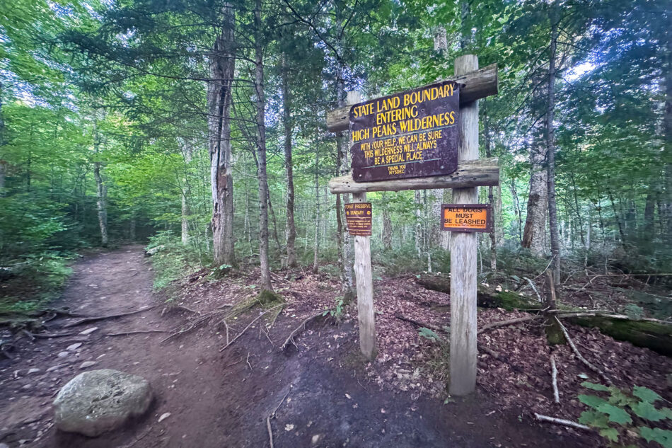
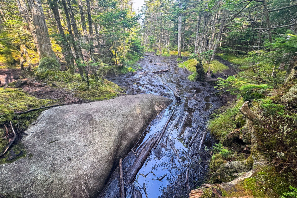
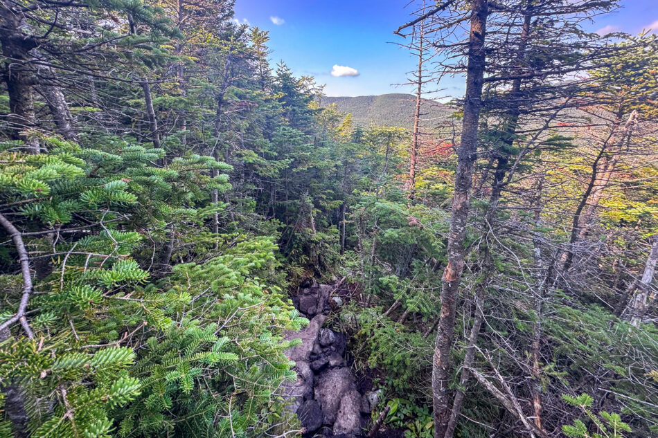
The trail was typical for the Adirondacks, with a fair amount of mud and rocks to navigate. Unfortunately, the summit itself is mostly wooded, so it’s not one of the “big view” High Peaks.
Street and Nye
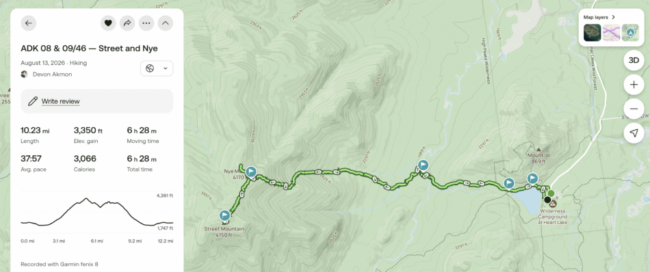
After hiking Table Top, I planned to summit two peaks the following day: Street and Nye. They’re a pair of trailless High Peaks, usually climbed together in one long day.
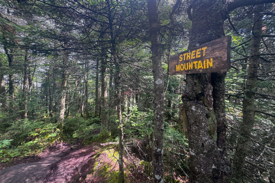
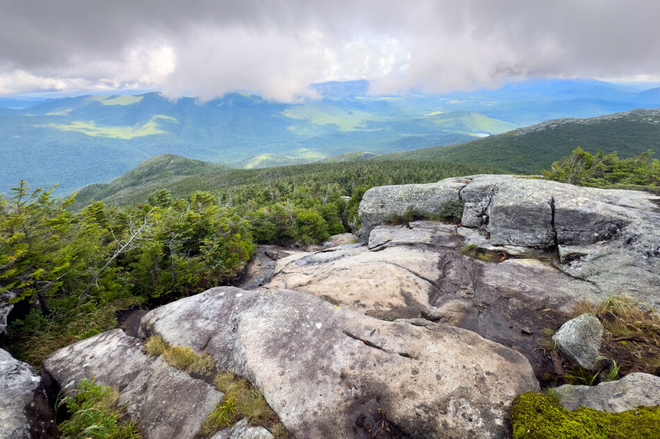
Street Mountain rises to 4,166 feet, making it the 31st-highest of the 46. It doesn’t have an official trail. Instead, hikers follow an unmarked herd path from the Adirondak Loj, crossing Indian Brook along the way. The true summit is wooded and mostly viewless, but a short walk past the summit sign leads to a ledge with a solid outlook toward Wright, Marshall, and several other High Peaks.
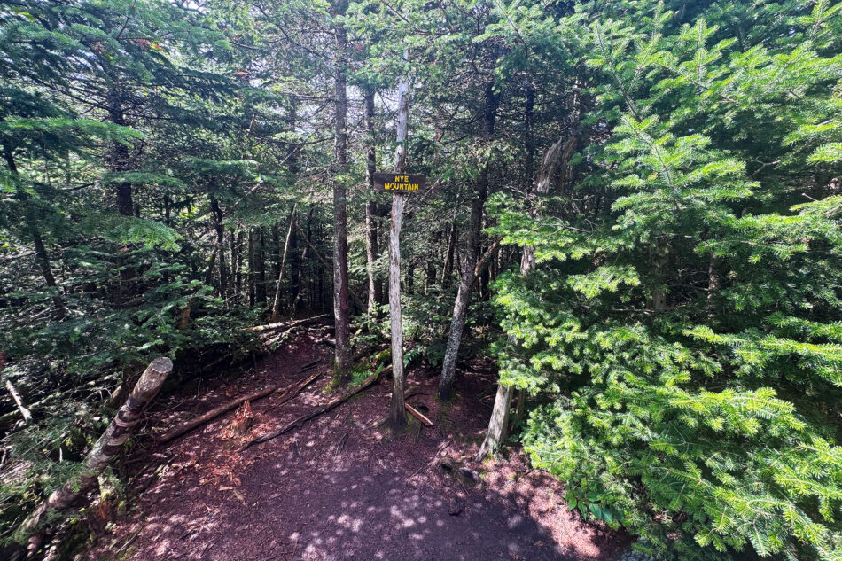
Nye Mountain sits along the same ridge, just to the north, at 3,895 feet, the 45th-highest peak on the list. It’s a bit of a historical quirk: an early survey measured it above the 4,000-foot cutoff, and even though later, more accurate surveys brought it down below that line, it kept its place among the 46. Nye’s summit doesn’t offer the consolation view that Street’s does. It’s simply wooded and unremarkable, more a box to check on the way to Street than a destination of its own.
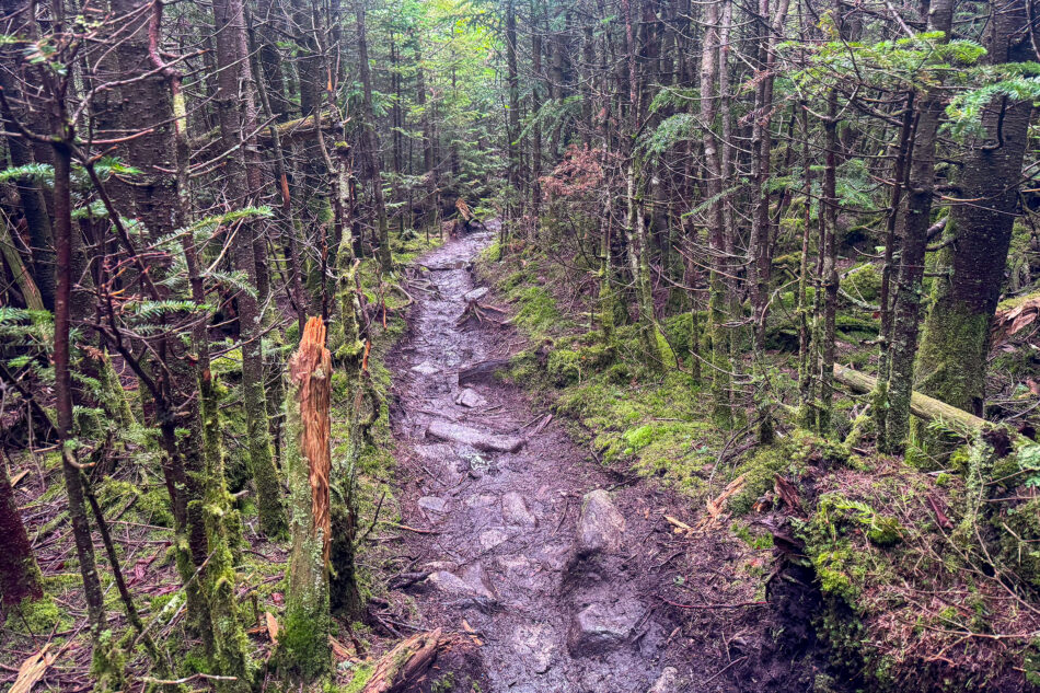
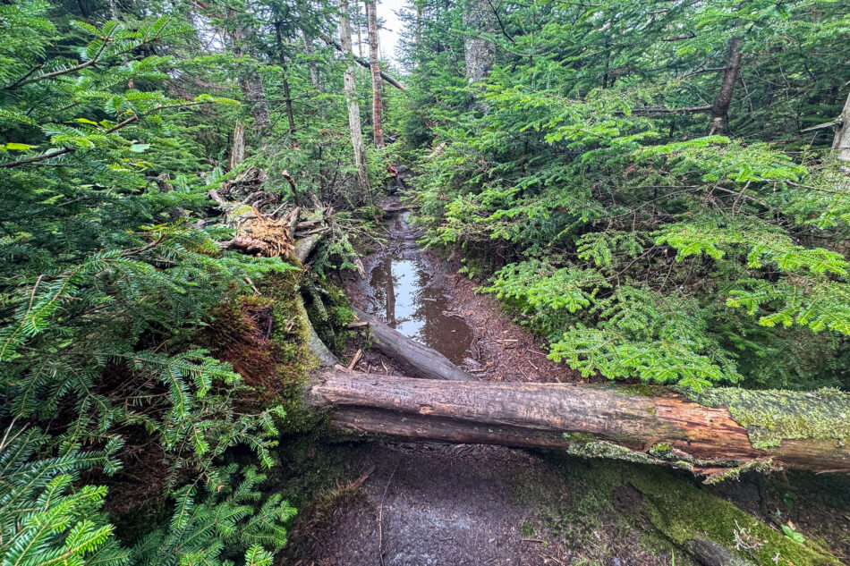
Unfortunately, it rained heavily the night before my planned hike of these two summits. The trails were very muddy, which added to the challenge of already tired legs and the usual blowdown from past storms. Wet rocks made parts of the trail slippery too. Conditions were gnarly enough that I snapped a brand new carbon MSR trekking pole. That was a bummer.
It didn’t help that I made two navigation mistakes on this trip. First, after summiting Street, I missed the cutoff to Nye and started descending the mountain. About a half mile later, I realized my mistake and had to hike back up, no fun at all. Then, after summiting Nye and rushing to make up time, I took a wrong turn again and found myself heading back to the summit of Street. In all, I estimate I added an unnecessary mile or more to the hike.
Giant
After a rest day to enjoy some local attractions, including the John Brown Farm State Historic Site, it was time to climb Giant.
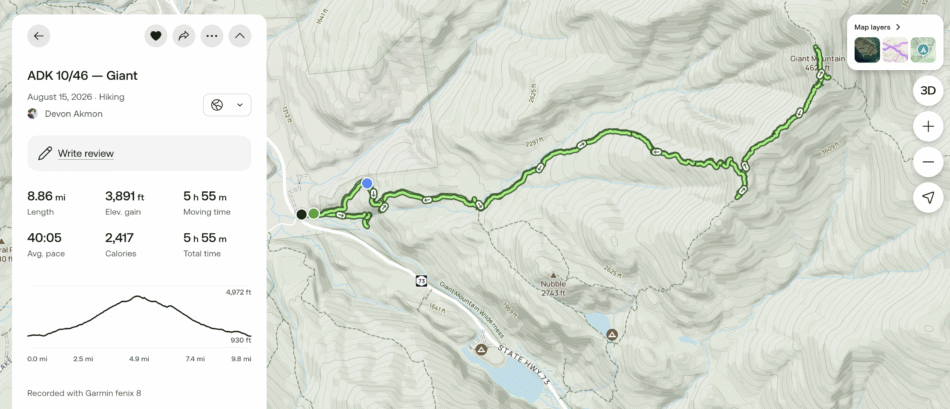
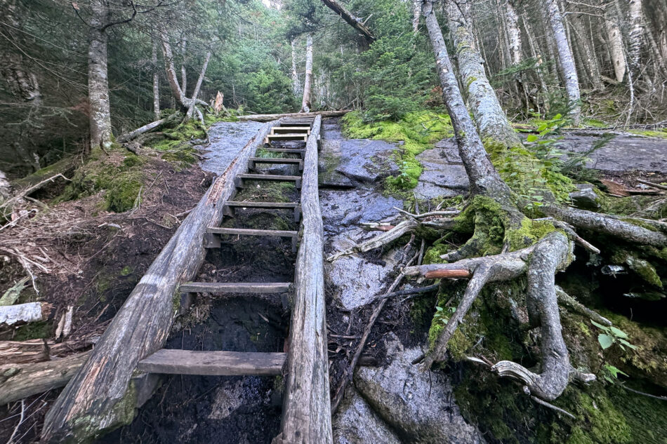
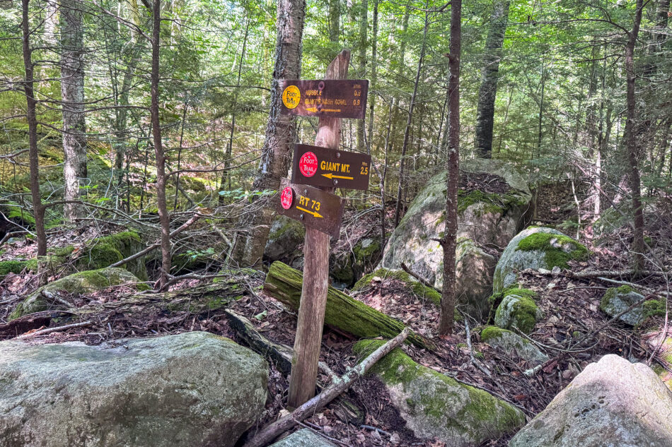
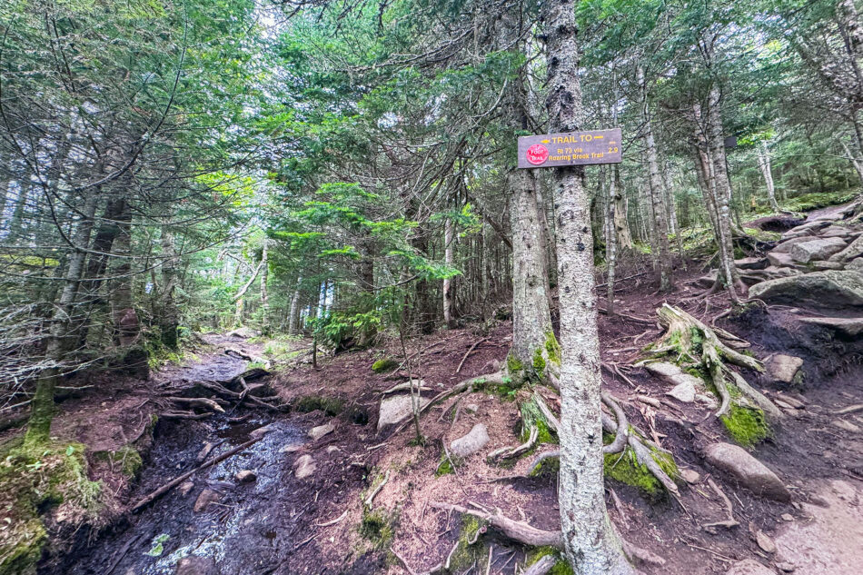
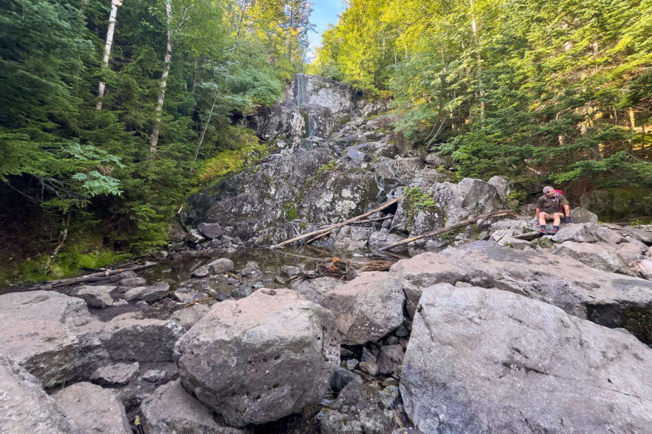
Giant Mountain, also known as Giant of the Valley, is the 12th-highest of the 46 High Peaks. It tops out at 4,627 feet. I followed the Roaring Brook Trail, one of two main routes up Giant. It’s by far one of the more demanding climbs I’ve tackled so far. The route packs roughly 3,400 feet of elevation gain into just 3.4 miles, which involves a steep, sustained climb from nearly the first step. It starts out deceptively mellow, passing a short spur to Roaring Brook Falls within the first tenth of a mile. That detour alone is worth the short side trip. From there, the trail stays moderate for about a mile before turning steep. It climbs hard away from the brook, with a wooden ladder helping hikers up one of the tougher pitches.
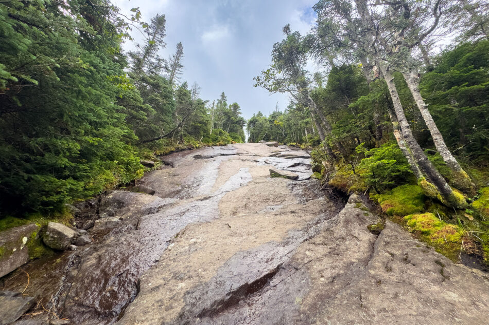
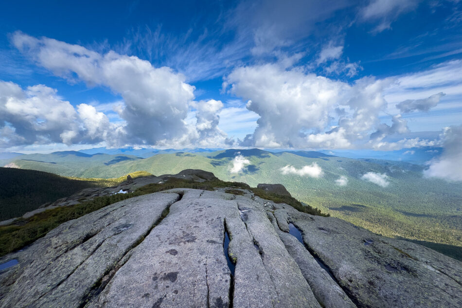
The upper mountain brings a different kind of challenge: long stretches of open rock slabs. These slabs make up much of Giant’s summit ridge and turn treacherous when wet, since the granite gets slick fast. Thankfully, I had dry conditions. That made for solid footing and let me enjoy the exposure instead of white-knuckling my way across it.
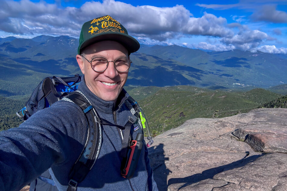
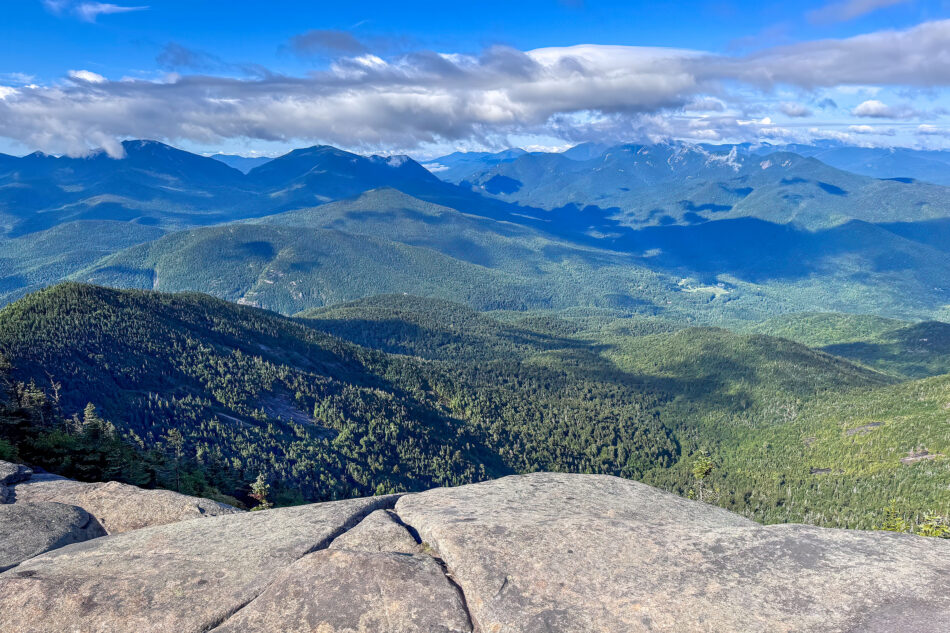
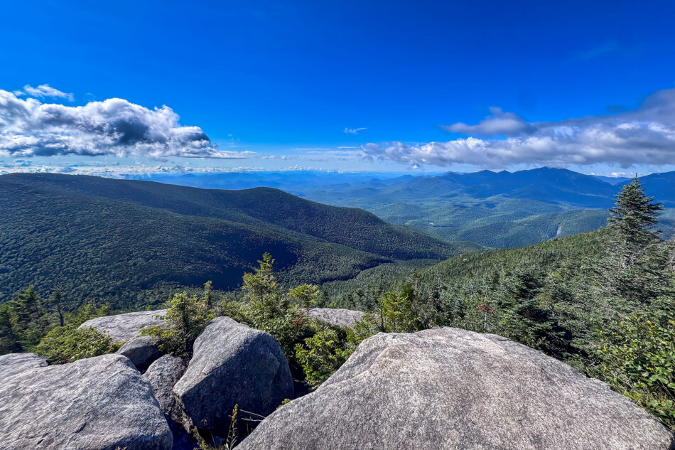
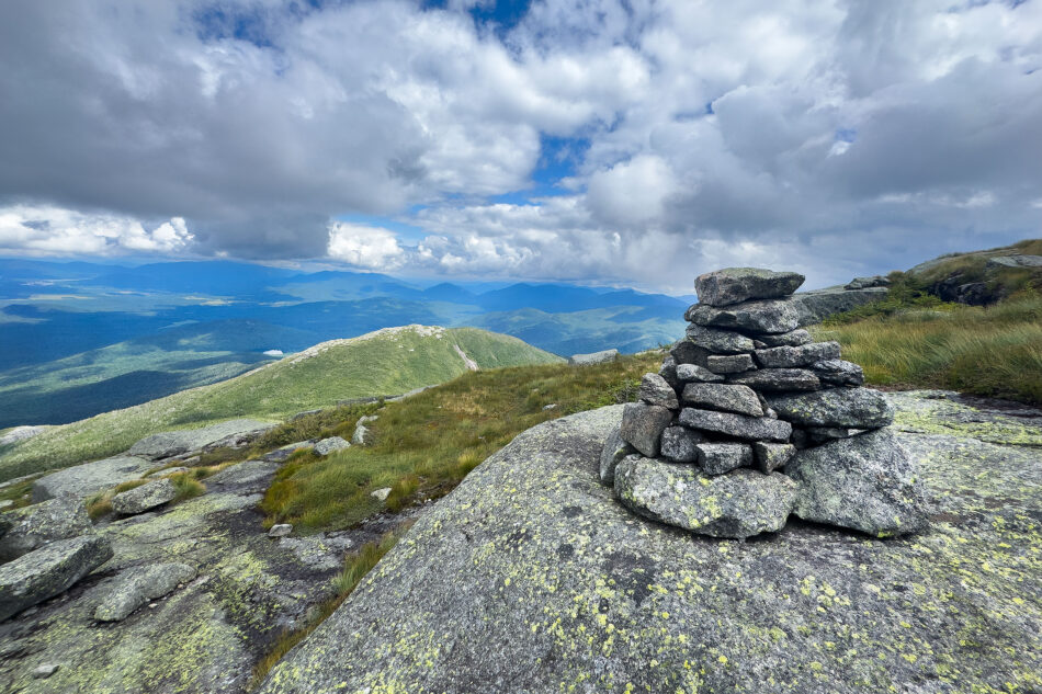
All that effort paid off at the top. On a clear bluebird day, I was afforded a full 360-degree panorama, the High Peaks in one direction and the Lake Champlain Valley in the other. It’s one of the best payoff views I’ve had yet on this journey, easily worth every foot of that brutal climb. I opted not to turn this into a two-summit day by tackling the adjacent Rocky Peak Ridge, saving that connection for another trip.
MacIntyre Range: Wright, Algonquin, and Iroquois
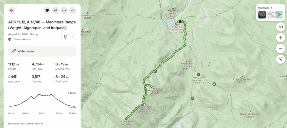
My fourth and final High Peak hike for the week was a big one, featuring the three primary mountains of the MacIntyre Range.
The MacIntyre Range is one of the most striking ridgelines in the High Peaks, and this hike ties together three of its four major summits. The range is named for Archibald McIntyre, founder of the nearby McIntyre Iron Works, even though the mountain names carry a different spelling. From southwest to northeast, it includes Mount Marshall, Iroquois, Boundary Peak, Algonquin, and Wright. Marshall requires its own separate trip; there’s no maintained trail linking it to the other three.
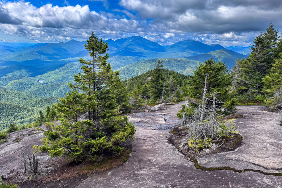
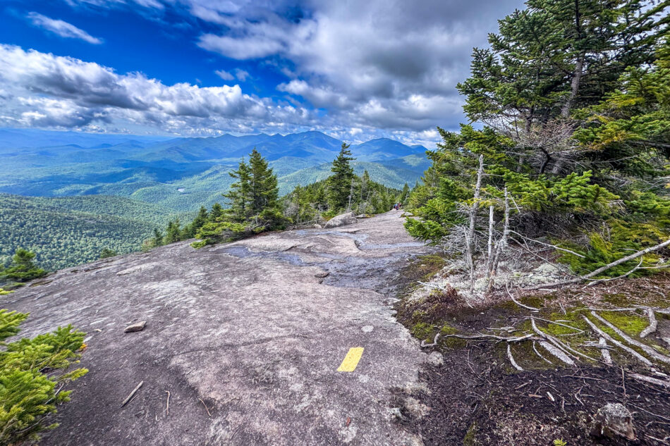
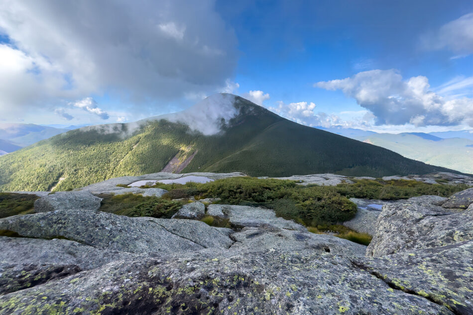
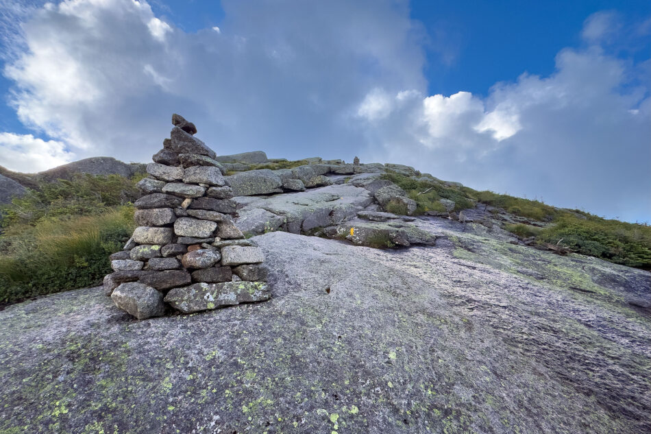
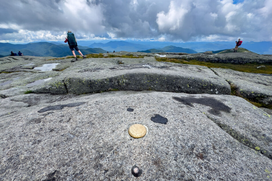
Algonquin is the range’s centerpiece and the second highest mountain in New York, at 5,114 feet, trailing only Marcy. Its summit sits fully above treeline with a wide, open dome of rock with 360-degree views that rival Marcy’s own. Wright, the range’s northernmost major peak, comes in at 4,580 feet. It’s known as the windiest summit in the Adirondacks. Iroquois rounds out the trio at 4,840 feet, reached only by a herd path off Algonquin’s south side by way of Boundary Peak.
I started at the trailhead near the Adirondak Loj and climbed Wright first, then Algonquin, then continued over Boundary Peak to Iroquois before retracing my steps all the way back to the trailhead.
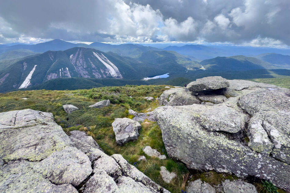
One of the most striking views of the day came from Algonquin, looking across at Mount Colden. You can see the pale scars of Colden’s slides cutting down its face, a dramatic reminder of how much these mountains are still actively shaped by weather and erosion. In fact, one of those events, a major mudslide off Colden’s northwest face in July 2025, buried a long stretch of the Avalanche Pass Trail below in mud and debris, closing that popular route between Marcy Dam and Lake Colden for over a year.
On the upside, Avalanche Pass reopened shortly after my trip, thanks to the work of the state Department of Environmental Conservation (DEC) trail crews and volunteers with the Adirondack 46ers, who spent months clearing debris and rebuilding the trail, including new bridges and boardwalks through the pass.
Until Next Time
The trip wasn’t all about the trails. We also visited Fort Ticonderoga, Crown Point State Historic Site, and Saratoga National Historical Park, a good reminder that this region’s history runs as deep as its mountains. And, no Adirondack trip is complete without plenty of post-hike ice cream from Stewart’s Shops and Donnelly’s Soft Ice Cream, our reward at the end of every long day.
Seven High Peaks in a week, plus four more of the Lake Placid 9 with Dharma and Remy in tow, made this one of our best Adirondack trips yet! I’m already looking forward to returning next summer to keep chasing both the remaining High Peaks and the rest of the Lake Placid 9 as a family.